About
Project launch planning.
-
September 2025
Proposal application
Proposal submitted for the call
-

February 2026
Decision
Grant Agreement Preparation in process. Adjustments of deliverables and dates.
-
September 2026
Project start
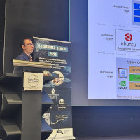
Project kick-off has been planned at the Soils for Europe conference!
-
March 2027
First batch of deliverables
Planned delivery of the implementation plan and several other strategic documents.
-
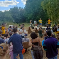
Connect and
join our
numerous events!